Well microsoft has jumped in with both feet with the curiously-named local.live.com. Unlike google, it actually shows the names of the roads at useful times. The maps of the boonies are better and it has aerial views, click-and-drag panning, and google.earth-like zoom-in when you double-click. It works ok for me with firefox on windows 2k, winxp, and linux, although like windows, it makes my computer slower when it's up. I have no idea if it runs on a mac.
Example: where do you think this is? (You have to click these images to see them full-size.)
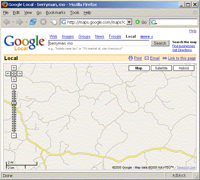
Worthless... Maybe this will make it more clear.

And what the hell is up with this All Roads Named 3 business? I've seen this all over. Many MO highways get erroneously numbered 3. Maybe that's why they hide the labels...
Google Maps still has some things going for it, but I guess they're going to have to step it up in the accuracy and usability departments. I still use both, and I'm hoping one of them will decide to show us rivers someday...
As always, your mileage may vary.
1 comment:
It runs ok on my dog slow g3 ibook with firefox. One thing I do like about googles is the sat view, however, microsofts does indeed have better road naming. Here is a permalink to where we will be racing Bonk Hard Chill this weekend!
Lake of the Ozarks State Park
Post a Comment